
Sources for Huntsville Neighbors
Block research works best when each official source answers one narrow question. Huntsville has an unusually useful city tool that returns parcels within a set radius, while the assessor confirms individual ownership records. Voter and association information use different access rules and cannot fill the gaps in parcel data.
| Block source | What it shows nearby | How to reach it |
|---|---|---|
| Huntsville Variance Buffer | Map and owner mailing files for parcels within 500 feet | Free emailed output; owners, not occupants |
| Huntsville interactive GIS | Adjacent shapes, streets, districts, and selected public layers | Free visual, select, and query tools |
| Madison County assessor | Owner, situs, mailing destination, PIN, parcel, and tax fields | Free portal, one parcel at a time |
| State voter list | Selected public voter and geographic fields | Paid request; protected addresses withheld |
| Reverse directory | Past occupants arranged by address in some issues | Library or digitized volumes by year |
| Neighborhood association | Defined area, public meeting, and contact route | City inventory; no verified member roster |
The owner named on a parcel record may live at another address. A matching mailing and situs address or a homestead flag can support owner occupancy, but neither identifies every person in the home. That distinction governs every Huntsville neighbor search.
Huntsville's 500-Foot Neighbor Report
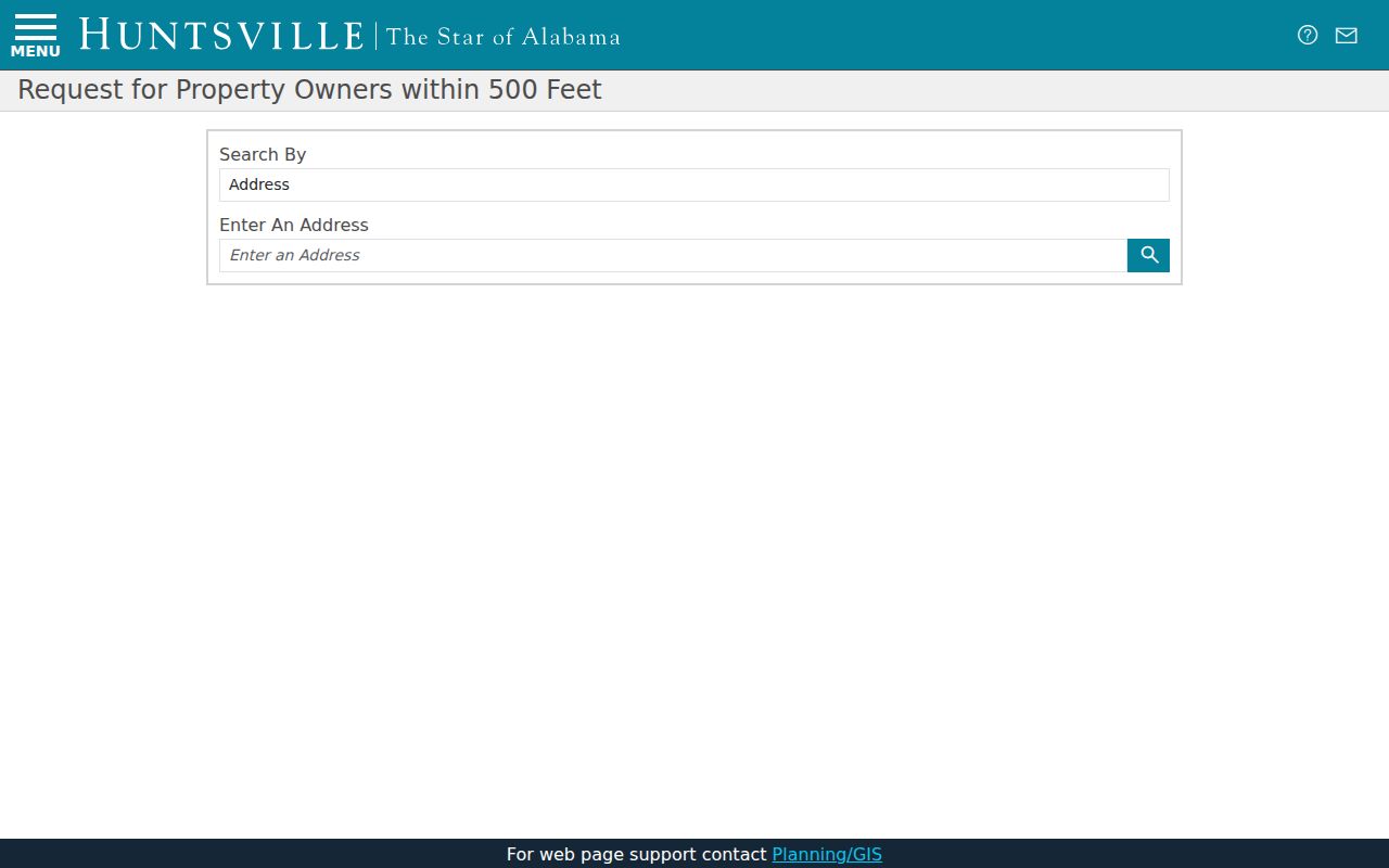
The Huntsville Variance Buffer is the strongest official block tool. Select a parcel by Address, Madison County PIN, or Limestone County Parcel ID, enter an email address, and submit the request. The dual county identifiers are a useful reminder that Huntsville crosses county lines.
The emailed package normally arrives within ten minutes. It contains a PDF map of the selected parcel and every parcel within 500 feet, an Excel file organized by county with owners and mailing addresses, and county PDF lists of those owners and destinations. If the automated parcel selection fails, the page provides an Email button for manual GIS help. Phone help is available at 256-427-5191 or 256-427-5166.
The official Variance Buffer source shows the address, parcel, and email workflow used to request the block report.
The output is designed for ownership notice around a site. It should be labeled an owner list, not a directory of all neighbors who live within the radius.
Note: The buffer's mailing field can flag an owner elsewhere, but it cannot name an occupant at the mapped parcel.
Map a Huntsville Block Outward
Begin with one confirmed parcel and move only to lots that actually touch or fall near it. This keeps the search about the immediate block. A full named-street chain belongs in the Huntsville street directory.
- Enter the exact address in the Variance Buffer or city GIS and select the correct parcel. Check the county shown by the identifier.
- Review the 500-foot map or click the surrounding parcel shapes in the interactive map. Record parcel keys before owner names.
- Confirm each Madison County parcel through the Tax Assessor's free Address, PIN, Parcel, Account, or Subdivision modes.
- Compare the physical situs with the owner mailing address. Treat a homestead indicator only as supporting evidence of owner occupancy.
- Add association and voter information through their distinct public channels without trying to infer people hidden by law or absent from the source.
Huntsville GIS draws on many city datasets, including parcel, zoning, permit, district, and demographic layers. Its Query tool can select a layer and parameter, then zoom, pan, flash, open popups, change symbols, or export supported results. GIS geometry guides the block search; it is not a legal survey or title record.
Read Huntsville Owner Clues
The tax roll's mailing address answers a different question from the situs address. Situs means the physical place of the parcel. Mailing means the destination chosen for tax notices. If those fields differ, the owner may be nonresident, an organization, a trust, or simply using another correspondence address. The record does not explain why.
This is the key insider point for finding Huntsville neighbors: ownership and occupancy are separate claims. A deed can confirm title. The assessment can confirm the listed owner and parcel. Neither creates a complete household list. Renters, relatives, roommates, and other residents may not appear at all.
Use the PIN or parcel number to keep nearby lots straight. Compare the legal and subdivision description when two street labels look alike. For a title question, move from assessor to the correct county recorder rather than extending a mailing clue beyond its meaning.
Meet Huntsville Neighbors Publicly
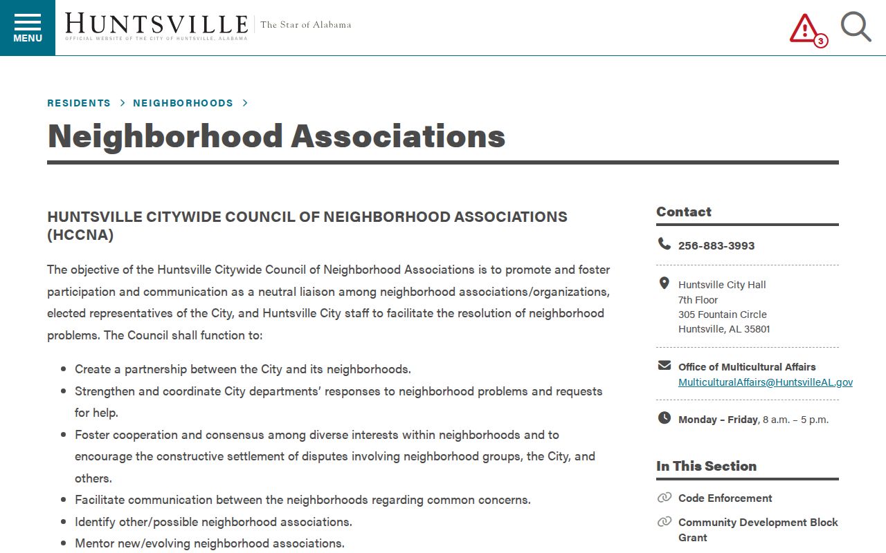
The Huntsville neighborhood association inventory is a voluntary community layer, not a resident registry. The city lists 29 groups and publishes meeting details or contact routes. The Citywide Council requires a member association to have a defined boundary, an elected officer, at least one annual meeting, notice to affected residents, and a representative elected with at least five residents present.
Historic districts
Five Points, Old Town, and Twickenham groups provide public preservation and meeting routes for their defined areas.
North and west groups
Northeast Huntsville, West Huntsville/Lowe Mill, Sherwood Park, Terry Heights/Hillandale, and Westlawn appear in the city list.
South and mountain groups
Monte Sano, Green Mountain Civic League, Whitesburg Estates, and English Village provide named community contact points.
City assistance
Office of Multicultural Affairs: 256-883-3993 and MulticulturalAffairs@HuntsvilleAL.gov.
The captured city association page illustrates the public names, meetings, and contact layer available to Huntsville neighbors.
Use those routes to attend a meeting or reach an officer. The research found no public member directories, so an association name must not be treated as a list of households.
Voluntary Huntsville Community Networks
Community Watch adds another contact channel without exposing a resident roll. Huntsville reports more than 150 active groups, ranging from 25 to more than 800 households, with over 12,000 participating households. Those figures describe program scale. They do not make participant names or private contact details public.
Associations and watch groups are most useful for lawful community goals: learning meeting schedules, joining a cleanup, discussing traffic or preservation, and finding the right public representative. They can also clarify how residents describe a neighborhood whose informal name does not align with a parcel, ZIP, or city district.
UAH ArchivesSpace and the Huntsville History Collection add historical context, photographs, oral histories, and records of local organizations. They document community life and affiliations, but they are not current neighbor directories. No verified public alumni, congregation, fraternal, or veteran member roster was found.
Huntsville Blocks and Voter Limits
Alabama's personal voter-status portal cannot browse a block. It requires first name, last name, full date of birth, and a browser challenge. A successful search can confirm registration and polling information for that person. It does not expose a free list of Huntsville neighbors.
A statewide voter list may be purchased under Ala. Code §17-4-38. The request can select a county, city, or district and fields such as name, residence address, registration date, status, districts, and up to ten elections voted. Election participation never reveals ballot choice. Electronic output is priced at one cent per voter record, while paper costs one dollar per page.
Protected domestic-violence voters and specified officials can use affirmation procedures that withhold residential and mailing addresses. Any block-level use must preserve that protection. A missing address may reflect a lawful safeguard, not a database error.
Official Huntsville Neighbor Evidence
Commercial neighbor tools often merge tax, deed, and other data without showing when a fact changed or which office supplied it. Official records are narrower, but their meaning and custodian are clearer. That difference matters when a name is old, a parcel is held by a trust, or a renter never appears in the ownership roll.
| Source type | Useful strength | Critical limit |
|---|---|---|
| Official parcel and assessor records | Dated parcel identity, assessed owner, situs, and mailing fields | Not a full occupant list |
| Official voter channel | Defined statutory fields and protected-address rules | Personal portal is not street browse; list access is paid |
| Public association contact | Meetings, officers, and defined community areas | No verified member roster |
| Commercial compiled category | May combine many leads quickly | Can be stale, misattribute residents, and hide source dates |
Confirm any compiled claim at the assessor, recorder, voter office, or association that owns the underlying record. A source with a smaller scope can be more reliable because its limits are visible.
Huntsville Neighborhood Memory Layers
Current parcel data can be paired with public history when the question concerns how a block or community changed. The Huntsville History Collection includes homes, surveys, people, photographs, and local histories. UAH ArchivesSpace searches terms, record type, field, and year range across regional collections. These sources provide context, not present-day household claims.
The Huntsville cemetery gateway offers another community-memory route through the city locator. Searches can use cemetery, name, block, lot, space, dates, inscription, and a map view.
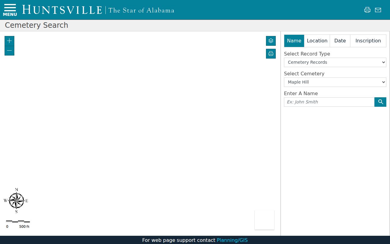
The mapped result can connect a family or place name to local history, and the city's 2024 cemetery GIS update documents the veteran-location project behind that research layer. Burial evidence should never be presented as proof of a current neighbor or current address.
Neighborhood dates can guide which sources are plausible. Five Points began with the 1892 East Huntsville Addition and was annexed in 1925. Old Town has homes from 1828, while McThornmor Acres dates to the mid-1950s aerospace era. Those timelines help choose maps, directories, or postwar records.
Privacy for Huntsville Neighbors
Parcel maps do not list every neighbor. They omit renters and most household members because assessment records concern land and ownership. Utility and delivery accounts are private. Motor-vehicle personal information is restricted by federal law. Voter protections, court privacy rules, and protection-order safeguards can also remove addresses from public view.
Alabama provides voter address affirmations for domestic-violence victims and guardians, as well as specified officials and spouses. The public version may retain a name while withholding residential and mailing details. Commercial opt-outs do not erase an underlying official record, and official corrections must begin with the custodian that holds the field.
Lawful use. Use Huntsville neighbor records for civic contact, personal safety awareness, and lawful research. Never use them to watch, stalk, harass, threaten, or intimidate anyone.
Respecting source limits makes a block search more accurate. It also protects neighbors whose names do not belong in an inferred household list.